Visualising additional building height
UPFACTOR GEOSERVICES® is an application that reconstitutes the morphology of existing properties in 3D, their extrusion, and their representation based on geographical data (scatter plots, LIDAR, etc.).
This information is then overlaid with regulatory data from French local urban planning codes (PLUs) and data on architectural heights and sizes. This all serves to detect, with just one click, the potential for increasing the building height of a given property, anywhere in France.
Automatic calculation of the potential vertical space to be built
Acquisition of data on heights within the territory, precise to within 15 cm
Reconstitution of built volumes and of their environment as a 3D model
Agglomeration of all regulatory data sets from local urban planning codes (PLUs)
Application of regulatory heights and sizes
Calculation and selection of properties with the potential for increasing building height

Mass processing of properties
UPFACTOR GEOSERVICES® geocodes lists of addresses of several thousand buildings, identifies their potential for adding building height, and prioritises the opportunities identified according to regulatory and architectural criteria.
Our team of urban planners, architects, and engineers analyses the most relevant candidates to bring the project to fruition for the client.
The city, seen in a new light
UPFACTOR GEOSERVICES® is a powerful computational engine that provides a new perspective on cities.
It visualises the existing potential of the existing building stock.
It is a publicly useful tool.
It visualises local urban planning codes (PLUs) and urban development policies to offer a comprehensive view of French cities.
This allows public decision-makers and real estate groups to visualise the vertical potential of their property holdings.

Team
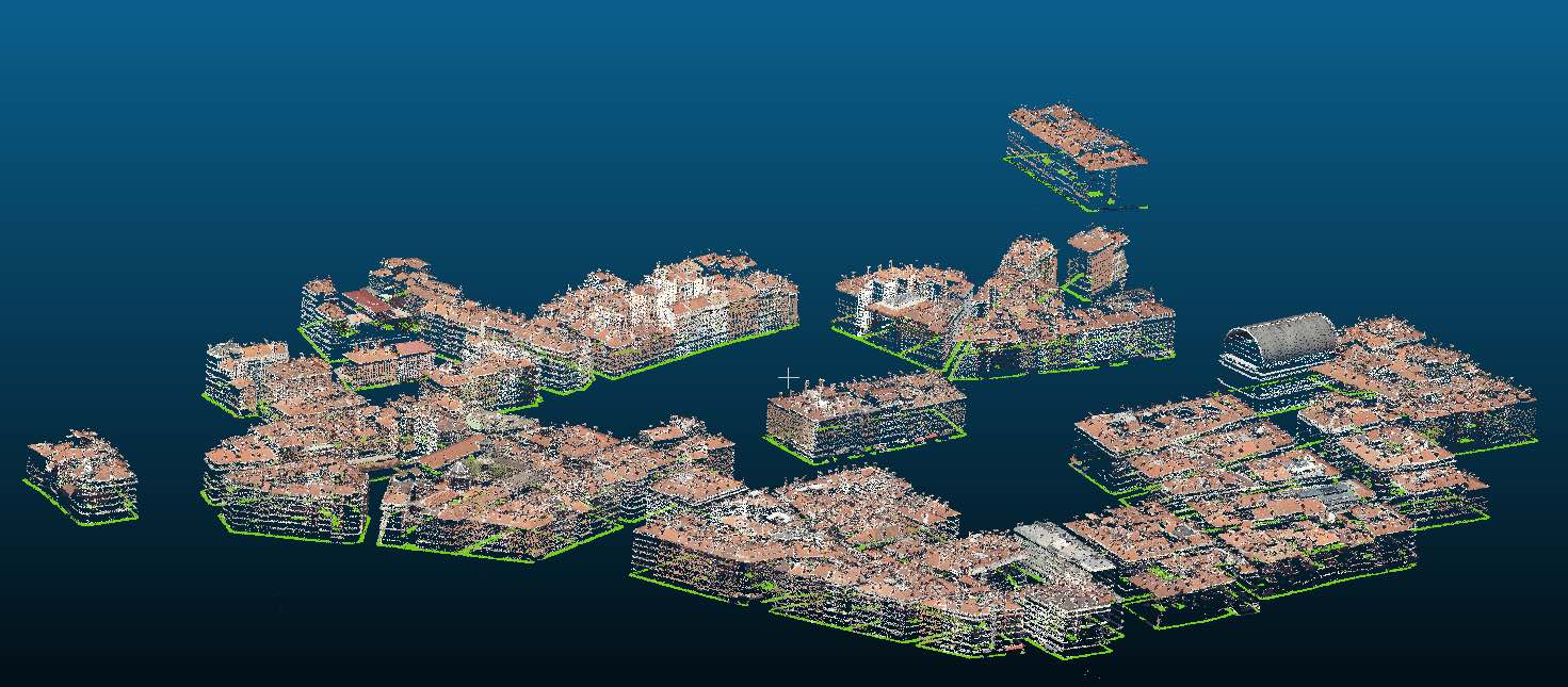
Scatter plots
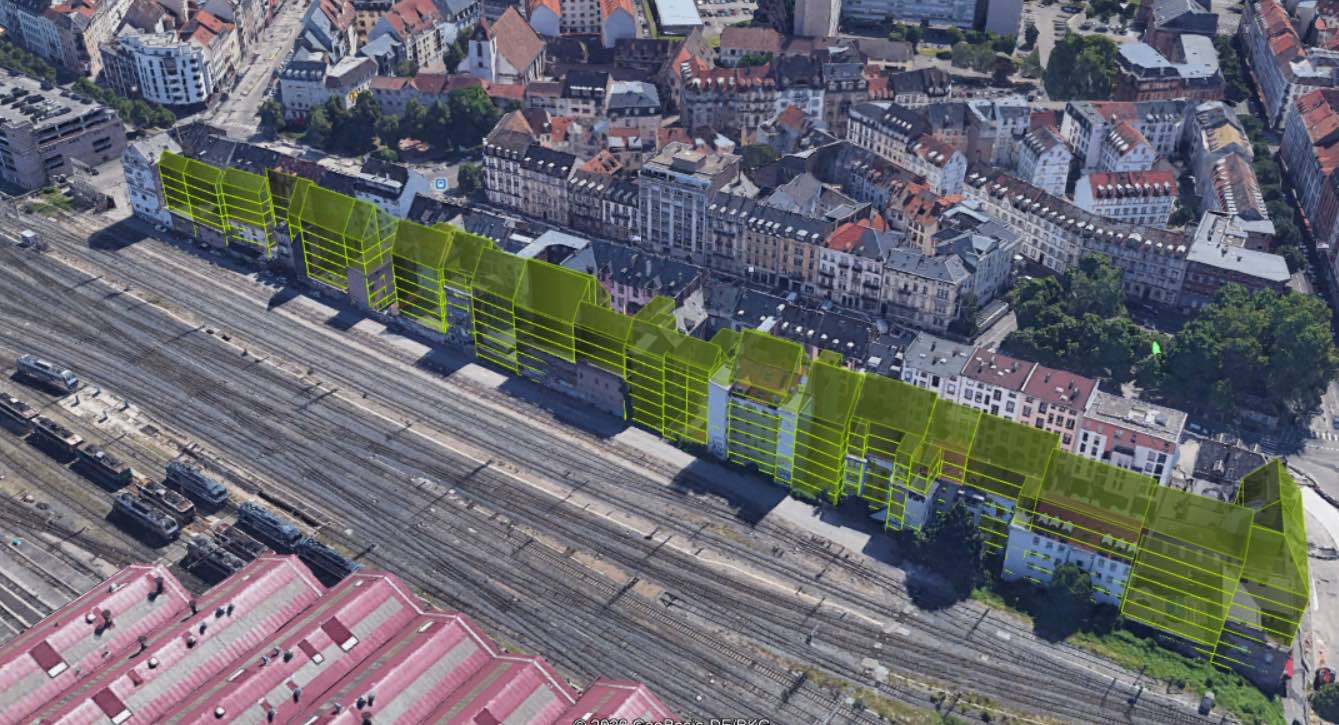
Strasbourg
Contact us!
7 avenue de la République
75011 Paris
T.+33 1 48 42 28 92
contact@upfactor.com